Hi y'all!
Let me tell you, I did not do my due diligence and ended up going every which way but the way that I had wanted to go. Here's that
Manzanita Mountains Trail Map again.
 |
| My annotated route. Sorry for the poor quality. |
What I did was take ATV bypass slightly east to Powerline, which I followed to the junction with Chamisoso. I took Chamisoso almost until the end, but turned back at an arroyo crossing. I followed that back about 1 - 1.5 miles to the Coyote-Camisoso Link, which I briefly followed until 462. I took 462 southwest to the ATV bypass, which I then followed until close to the parking lot, where I gave up and just followed the road back.
The actual route I took can be found
here.
And here's a handy elevation profile:
As you might be able to tell, it wasn't a bad hike until that pesky ATV bypass, which was a little rough most due to very loose rocks. I had intended to follow one of the hikes mentioned in the Albuquerque Senior Centers' Hiking Group's
pages (which is an excellent source for local hikes!), but had failed to read the description very carefully. It's really my own fault.
The trailhead for this hike is the Coyote trailhead, not very far past the Sandia Ranger District on NM-337. Like Turkey Run, you'd take I-40 east out of Albuquerque, and head south at the Tijeras exit. It's really close to the highway, and still decently popular for a Monday morning (one motorcycle dirtbike thing and 2 mountain bikers). The parking lot is maintained gravel and the road up to the actual Coyote trailhead is also maintained gravel, although the grading looked very large and bumpy when we were walking down it.
The ASCHG page described the hike as moderate (but like... not as moderate as the FS's moderate) and a 'woodsy' hike. I took this to mean it was in the woods and shady. Thank goodness I went very early (I arrived at the trailhead at 7:40 am), because we wouldn't have made it far down the trail. The powerline trail is decently shaded but Chamisoso trail itself is not shady at all. Lucky for us, there was some residual morning clouds so we didn't get fried. That was a major contributing factor in turning around early. Tilly was already pretty tired and I hadn't brought a ton of water like I did for Turkey run because I just wasn't thinking. That being said, it's a really pretty hike and we spent about an hour and 45 minutes going at it. Well worth the drive out there.
 |
| And we are off, despite the scary loud motorbike in the parking lot. |
 |
| Beautiful views of the Manzanitas. |
 |
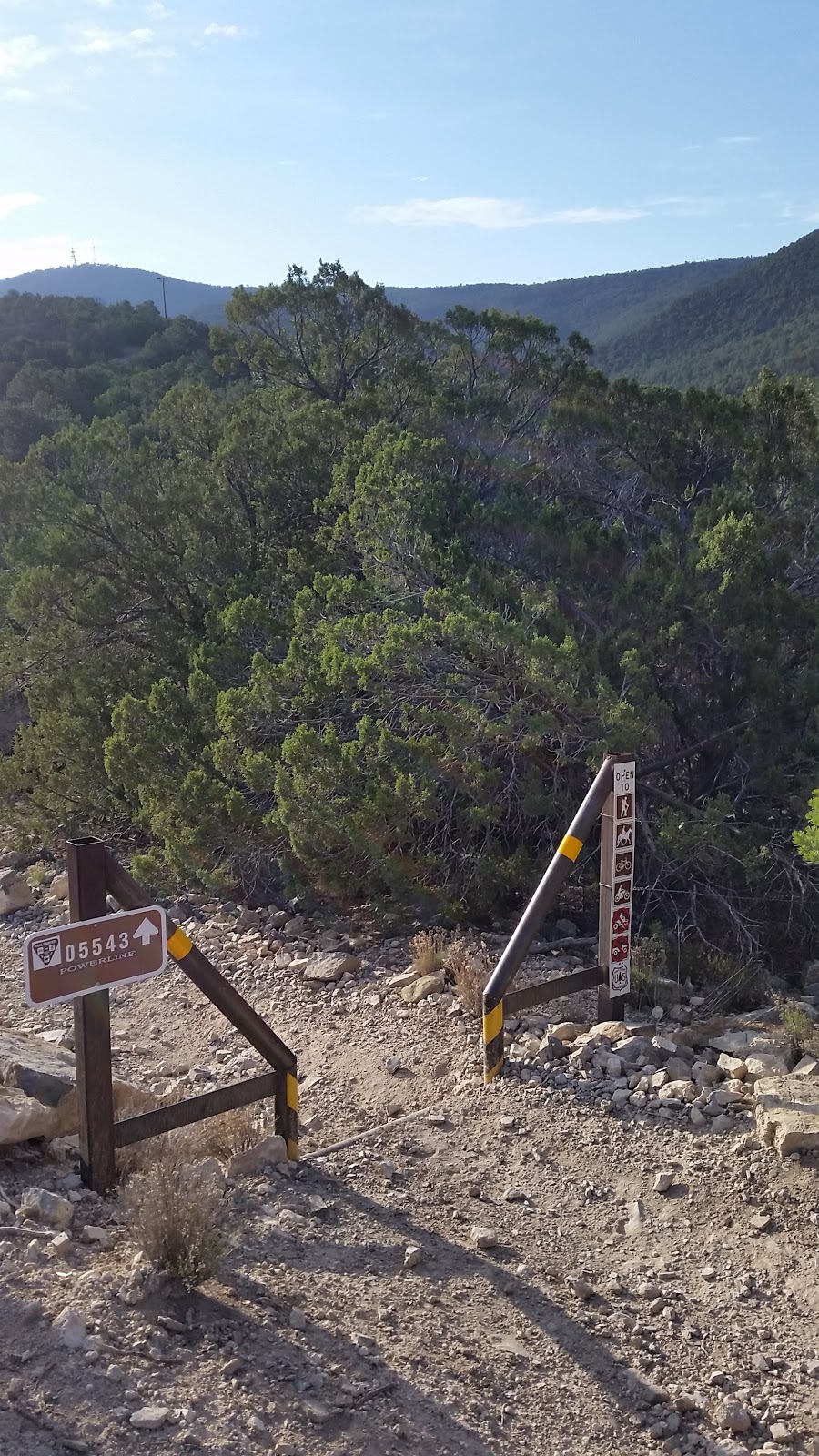
| First junction. |
 |
| This gorgeous guy allowed me to photograph him. |
 |
| Thank goodness for morning shade. |
 |
| Continuing on powerline, which wasn't very aptly named. |
 |
| Another junction. |
 |
| Resting already. That sun can be unforgiving! |
 |
| The namesake trail! |
 |
| Looks like some flash floods went through recently. |
 |
| They definitely did in the arroyo. |
 |
| I was trying to take a picture of a fault and this little guy came down to see what I was up to. Thanks, man! |


Comments
Post a Comment